Our wait continues for high resolution imagery from
Google’s satellite, but yesterday Google launchedÂ
Street View for South Bend, Mishawaka and Granger Indiana. It lets you see the street scene at whatever site you are mapping. Â They are static, and apparently were taken sometime last summer.
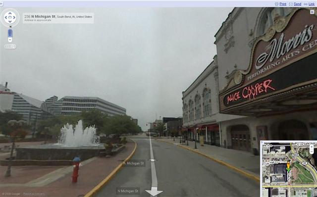
Here’s a sample from downtown South Bend:

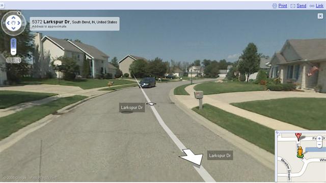
and one of my neighborhood, South Bend’s Hermitage Estates:

If you want to scout houses, buildings, or neighborhoods, it’s the fastest way, and you can take a virtual walk around the block seeing what the Realtors left out of their photos.


That looks like about the average number of pedestrians out and about in downtown South Bend. Could someone please bring a Walgreens or a grocery store downtown so it can start to support life after 5pm?
The photo for my house was taken in the summer of 2007, before I had a tree removed in September of 2007.
Any December and 2008 stats?
December stats are posted.
Our picture was taken on a Wednesday morning/afternoon because our recycling bin was still out on the curb.